LandCAD® Introduction
LandCad® is a
professional Landsurveying CAD-system, designed and produced in Denmark by the
company Toft-Nielsen A/S, by a staff of professional landsurveyors and engineers,
familiar with landsurveying praxis in the field. The company is founded in
1987.
LandCad® is used worldwide in surveying companies, engineer-
and contractor companies, state institutions, municipalities, energy companies,
schools and universities, in all landsurvey tasks, and as an intelligent,
value-adding connection between GPS-equipment/totalstations at one hand, and
Geographichal Information Systems at the other hand.
LandCad® is handling all
types of userfriendly graphical landsurveying, all types of 2D- and
3D-transformation, circle-circle-calculation, line-line-calculation,
wireregistration, volumecalculation, cut/fill calculation, 3D-visualization,
GIS with database-connection, WMS/WFS-internet-maps and professional plotting,
from A4- to A0-oversize-format.
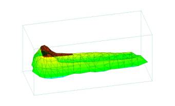
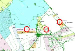
3D-volume-calculation Property map
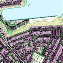
Urban map Measuring
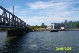
deformation of a bridge
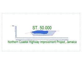
Measuring Electrical Equipment Cross-section with volumecalculation
LandCad® can handle
UTM-coordinatesystem and local coordinatesystems with and without deformation.
LandCad® can communicate with all
types of GPS-equipment and totalstations, and is fully 3D.
LandCad® can
2-way-translate data between a lot of CAD/GIS-dataformats :
- AutoCAD DWG and DXF
with headerinformation, blocks etc.
- MicroStation - DGN
with cell-libraries
- MapInfo TAB, MIF
(mapdata) and MID (database-information)
- ESRI Shape (mapdata)
and dBase (database-information)
- XML format
- Land-XML-format
(points, lines, objects, 3D-models)
- 3D-Terrainmodel-formats
for Machine Control for Excavators (e.g. Scanlaser VisualDigger, Leica,
Trimble)
- Character-separated
textfiles of any format, with advanced possibilities
- Direct translation
between e.g. AutoCAD DWG and ESRI Shape
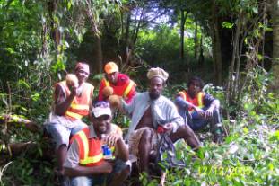
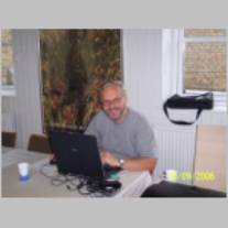
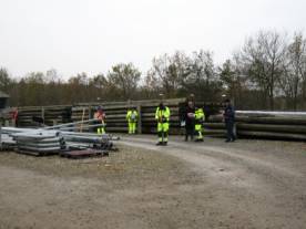
LandCAD in Jamaica A happy student

Training and exercising LandCAD® TriangleTerrain
Model
exported to Scanlaser
VisualDigger
Machine Control for Excavators
LandCad® is used
worldwide by approximately 1000 customers.
E.g.
Engineers and
Contractors (Jamaica, New Guinea, Bangla Desh, Greenland, Poland)
HOFFMANN (Greenland)
Centre for
Tropical Ecosystems Research, University of Aarhus, DK
LandCad® Contact : www.landcad.dk post@landcad.dk
Phone : +45 98 17 94 85
©Toft-Nielsen
A/S
Contact